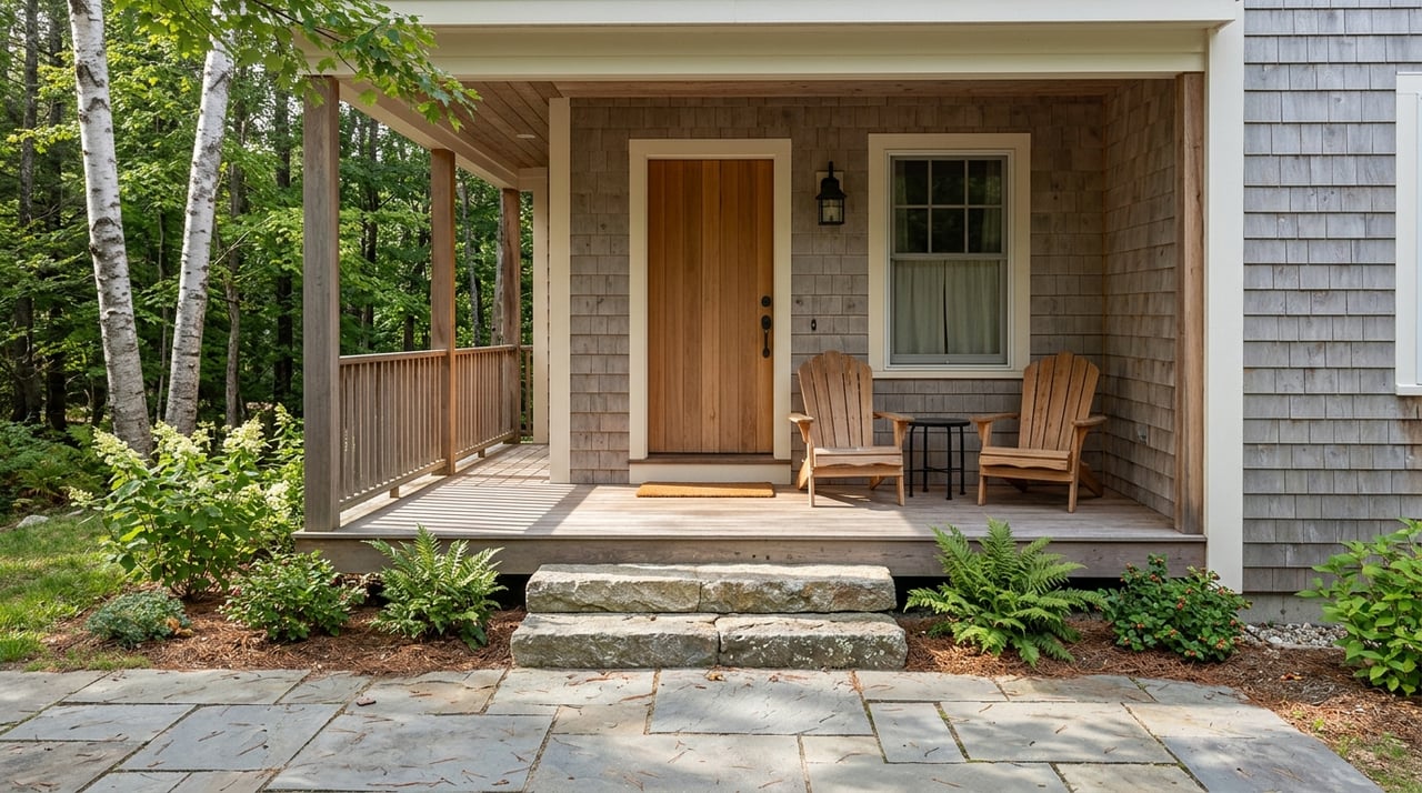
Thinking about a new dock, boathouse, or shoreline project on a Grand Traverse County lake or bayfront? Waterfront living is special, and it comes with unique rules that protect property, water quality, and public resources. If you understand setbacks, permits, and who to call, you can plan confidently, avoid delays, and keep your project on track. In this guide, you’ll learn how setbacks work, which permits you may need, typical timelines and costs, and smart tips for designing a resilient shoreline. Let’s dive in.
Who regulates shoreline work
Several agencies have a say in waterfront projects, and many projects require approvals from more than one authority.
- Michigan EGLE: The Michigan Department of Environment, Great Lakes, and Energy issues permits for work in or affecting surface waters and inland lakes and streams. This includes docks, boathouses, riprap and seawalls, bank reshaping, and any fill or excavation below the ordinary high-water mark. EGLE also oversees soil erosion and sedimentation control for certain projects.
- U.S. Army Corps of Engineers: For navigable waters and wetlands, federal authorization may be required under Section 10 of the Rivers and Harbors Act and Section 404 of the Clean Water Act.
- Grand Traverse County: County planning helps with mapping and floodplain coordination and can direct you to township zoning, the health department, and the conservation district.
- Local townships and cities: Places like Traverse City, Acme Township, East Bay Township, Garfield Township, and Peninsula Township set shoreline setbacks and local land use rules and issue zoning permits or variances.
- Conservation District and Drain Commissioner: The Grand Traverse Conservation District provides technical guidance on erosion control and shoreline stabilization. The Drain Commissioner is involved if county drains are affected.
- Local health department: Handles septic and well permitting, including setbacks from water bodies.
- Michigan DNR and other resource agencies: May review projects where fisheries, threatened or endangered species, or public trust resources are involved.
Key terms to know
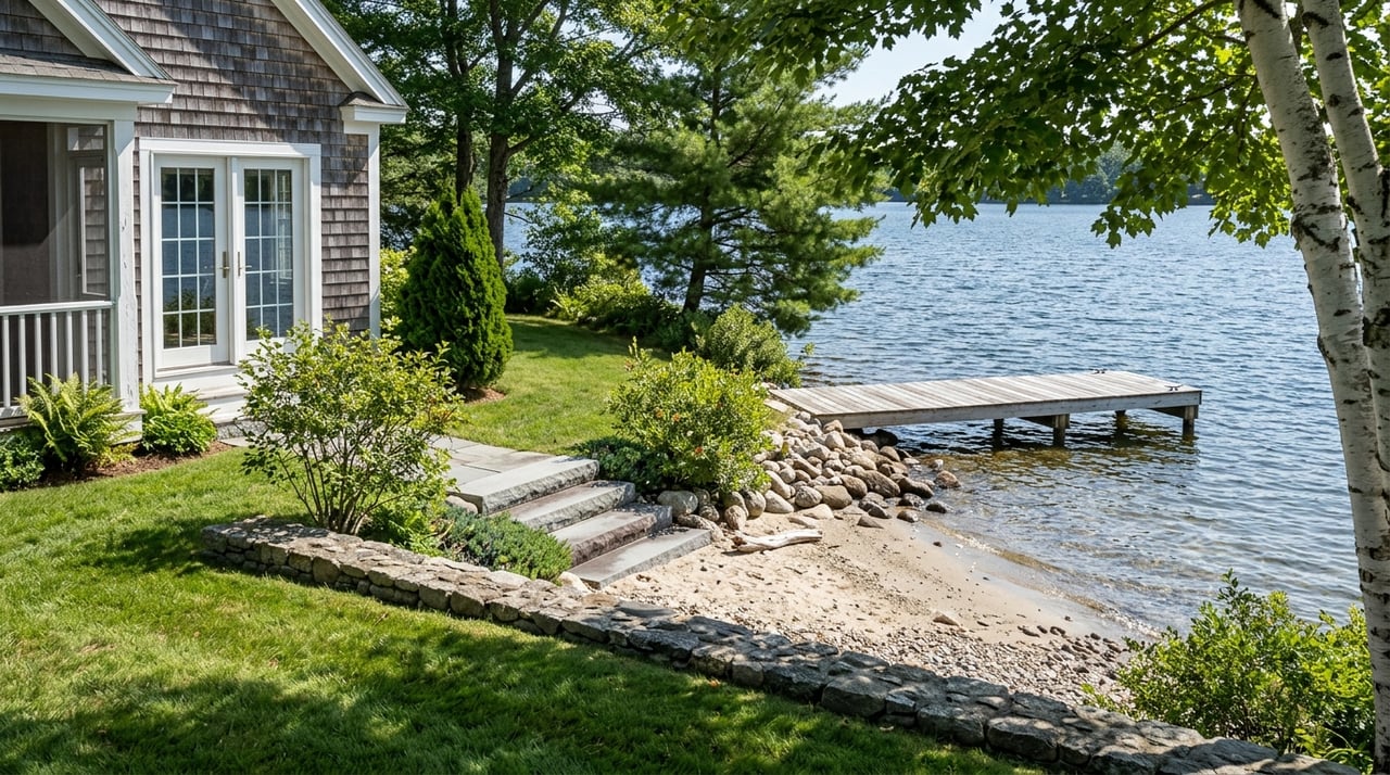
Ordinary high-water mark (OHWM)
The OHWM is the line that separates upland from the wet shoreline area for regulatory purposes. It is identified by indicators like vegetation changes, debris lines, or soil characteristics. For precise placement, you may need a site survey or to work with regulators during permit review.
Setbacks and buffer zones
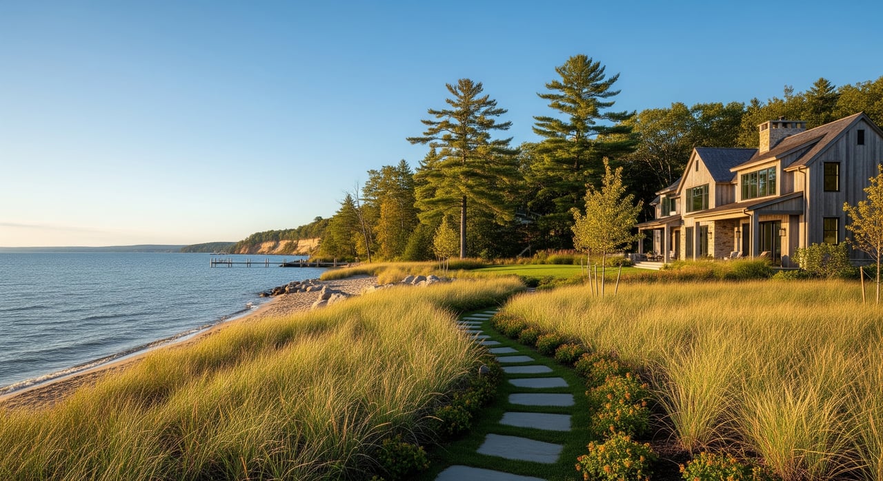
A setback is a horizontal distance from the OHWM or property line where structures are limited or not allowed. A buffer is a protected vegetation area near the shore meant to reduce erosion and improve water quality. Both are common on Grand Traverse County shorelines.
Riparian rights
If you own property on the water, you have certain riparian rights such as access, docking, and recreation. These rights are subject to the public trust and state and federal regulations.
Wetlands, floodplains, and dunes
Work in or near wetlands or mapped floodplains can trigger additional permits and studies. Great Lakes coastlines can include critical dune areas that have added protections.
Shoreline stabilization approaches
Hard armoring like seawalls and vertical bulkheads often requires stronger justification and engineering and may be discouraged. Softer solutions like native plant terraces, coir logs, and bioengineering are encouraged where feasible because they reduce erosion and protect habitat.
Public notice and variances
Some permits and local variances require public notice and a chance for comment. This can affect your timeline and the conditions placed on approvals.
What typically needs a permit
You should plan for permits if your project involves any of the following:
- Docks, piers, wharves, and boathouses
- Shoreline stabilization, including riprap or seawalls and shape changes to the bank
- Any fill or excavation below the OHWM
- Stairs, walkways, or lifts to access the water
- Vegetation clearing within a defined shoreline buffer
- Septic system installation or replacement near the shore
- Development in mapped floodplains
- Work near wetlands or in navigable waters
In practice, this usually means applying to your local township or city for zoning approvals, to EGLE for in-water or shoreline work, and sometimes to the U.S. Army Corps of Engineers for federal authorization. Soil erosion permits are common, and septic and well work runs through the local health department.
Typical setbacks and buffers
Local townships in Grand Traverse County set shoreline setbacks within their zoning ordinances. While the exact number varies by district and community character, common patterns include:
- Primary structure setbacks often ranging from about 50 to 75 feet from the OHWM, with some districts using distances from 25 feet to more than 100 feet.
- Accessory structures and minor features sometimes allowed closer to the shore with special rules.
- Vegetation protection zones in the first 25 to 100 feet from the water, with limits on tree and brush removal. Many ordinances allow selective pruning and a narrow pathway to the water. Restoration planting may be required after significant clearing.
- Dock standards that address length, width, placement relative to side lot lines, and anchoring methods to protect habitat and navigation.
- Impervious surface and lot coverage caps that affect how much you can build and how you manage stormwater near the shoreline.
Because these standards vary by township and zoning district, always confirm the setback for your specific parcel with the local zoning office. If the exact OHWM location matters for your layout, a licensed surveyor can help map it.
Step-by-step permitting process
A clear process helps you save time and prevent backtracking.
1) Pre-application calls
- Contact your local township or city zoning administrator to confirm the shoreline setback, buffer rules, and whether your project needs site plan review or a variance.
- Talk with Grand Traverse County planning staff about floodplain mapping and coordination.
- Contact EGLE to determine if you need an Inland Lakes and Streams or Great Lakes/Submerged Lands permit, and to get application checklists.
- If work affects navigable waters or wetlands, consult the U.S. Army Corps of Engineers.
- For septic or well components, contact the local health department.
- Consider a pre-application meeting with township staff, the conservation district, or a shoreline engineer for complex projects.
2) Prepare application materials
Typical documents include:
- A scaled site plan or survey showing property lines, the OHWM, topography, and water depths
- Plan drawings for the dock, boathouse, stairs, or shoreline stabilization
- An erosion and sedimentation control plan
- Cross-sections and engineered drawings for riprap, seawalls, or bioengineered solutions
- A restoration or mitigation plan if vegetation will be removed
- Photos of existing conditions
- Septic and well locations and clearances
- The property’s legal description and parcel ID
- Applicable fees
For precise layout or if there is a dispute about the OHWM, involve a licensed surveyor or shoreline consultant early.
3) Submission and review
- Local zoning permits can take a few weeks, but allow more time if you need a variance or public hearing.
- EGLE timelines vary by project complexity and completeness. Straightforward projects can move in weeks, while in-water work or stabilization projects that require public notice can take months.
- U.S. Army Corps reviews add time when federal jurisdiction applies, especially if environmental assessments are needed.
4) Conditions, inspections, closeout
Expect permit conditions such as required erosion controls, seasonal timing windows, and mitigation plantings. Inspections may occur during or after construction, and you will typically need final sign-off to close out the file.
Costs and timelines to expect
Permitting involves both fees and professional services. Local zoning fees are usually modest compared to engineering, survey, and consulting costs. State and federal permit fees vary by scope, and mitigation or restoration plantings can add to the budget.
- Small projects like removable docks or simple stairs can be planned and completed in a few weeks to a few months if no extra reviews are triggered.
- Larger projects such as shoreline stabilization or boathouses often take several months to a year when you include design, submittals, reviews, public notice, and construction.
Build time into your schedule for seasonal restrictions and contractor availability, especially during peak summer months.
What happens if you skip permits
Unpermitted shoreline work can lead to stop-work orders, fines, and requirements to remove or restore unauthorized structures. These issues can also complicate sales and financing. Title companies and lenders often ask for evidence of permits for major shoreline structures, and unresolved violations can delay or derail a closing. It is usually faster and less expensive to secure the right approvals up front.
Smart shoreline practices
Good planning protects your investment and the water you enjoy.
- Consult early with your township, the county, and EGLE to identify requirements and reduce surprises.
- Preserve and plant native vegetation to stabilize soils, filter runoff, and improve habitat.
- Favor soft stabilization and bioengineering where feasible; reserve hard armoring for sites that truly need it and use engineered plans.
- Choose lighter, removable docks that minimize disturbance and avoid dredging when possible.
- Document existing conditions with dated photos and a survey before any work.
- Communicate with neighbors in advance to ease concerns and support any required public notice.
Local next steps in Grand Traverse County
Your exact path depends on the property and the project. A practical sequence is:
- Identify your parcel’s local zoning and shoreline district with the township or city where it is located, such as Traverse City, Acme Township, East Bay Township, Garfield Township, or Peninsula Township.
- Locate the OHWM on a survey to anchor your setback measurements and design.
- Contact township zoning and EGLE early to confirm which permits apply and to get checklists.
- Engage qualified professionals such as a surveyor, shoreline engineer, or environmental consultant for projects that alter the shoreline or extend waterward.
- Coordinate with the Grand Traverse Conservation District, the county planning department for floodplain questions, the Drain Commissioner if county drains are involved, and the local health department for septic and well approvals.
How we help you move forward
Waterfront rules are detailed, but with a clear plan and the right team, you can move from idea to approval with confidence. As lifetime local advisors focused on Grand Traverse and Northern Michigan waterfront, we help you:
- Understand typical setbacks and buffers for your property context
- Coordinate early conversations with local zoning and key agencies
- Connect with trusted surveyors, shoreline engineers, and environmental consultants
- Map a realistic timeline for design, permits, and construction
- Position your property for future resale by keeping permits and documentation organized
If you are buying, we help you evaluate shoreline constraints and opportunities during due diligence. If you are selling, we help you present clear records and highlight compliant shoreline improvements. Ready to talk through your plans? Schedule your free consultation with Ryan & Jenni REALTORS®.
FAQs
Do I need a permit for a dock in Grand Traverse County?
- Often yes; docks, lifts, and in-water structures typically require local zoning approval and an EGLE permit, and federal authorization may apply in navigable waters.
How far from the water can I build a home or addition?
- Setbacks are measured from the ordinary high-water mark and vary by township and zoning district, with common ranges around 50 to 75 feet; confirm with your local zoning office.
Can I remove trees or shrubs near the shoreline?
- Many ordinances limit clearing within a shoreline buffer and allow only selective pruning and a narrow path; removal may require mitigation plantings.
What is the ordinary high-water mark and who determines it?
- The OHWM is identified by field indicators like vegetation and debris lines; a surveyor or regulators can help establish its location for your plans.
Who can deny or modify my dock or seawall plans?
- Local zoning authorities, EGLE, and the U.S. Army Corps of Engineers can require changes, add conditions, or deny permits when standards are not met.
How long do permits take and how much do they cost?
- Simple projects can move in weeks, while complex shoreline stabilization or boathouses can take several months to a year; fees vary, and professional services often make up most costs.
What happens if I build without permits on the shoreline?
- Agencies can issue stop-work orders, fines, and restoration requirements, and unpermitted work can complicate loans and closings during a sale.
What are environmentally preferred options for stabilizing my shoreline?
- Use native vegetation, buffers, and bioengineering; reserve hard armoring like seawalls for sites that need it and use engineered designs when required.